Journal of Forestry Science and Technology - Vol.11 No.1 (2026)
Application of GIS and remote sensing for assessing land cover change: a
case study in selected communes of Phu Tho province
This study applies Geographic Information Systems (GIS) and
remote sensing techniques to assess land cover change in Luong Son, Cao Duong, and Lien Son communes
(former Luong Son district), Phu Tho province, Vietnam, during the period 2014 -2024. Landsat 8/9
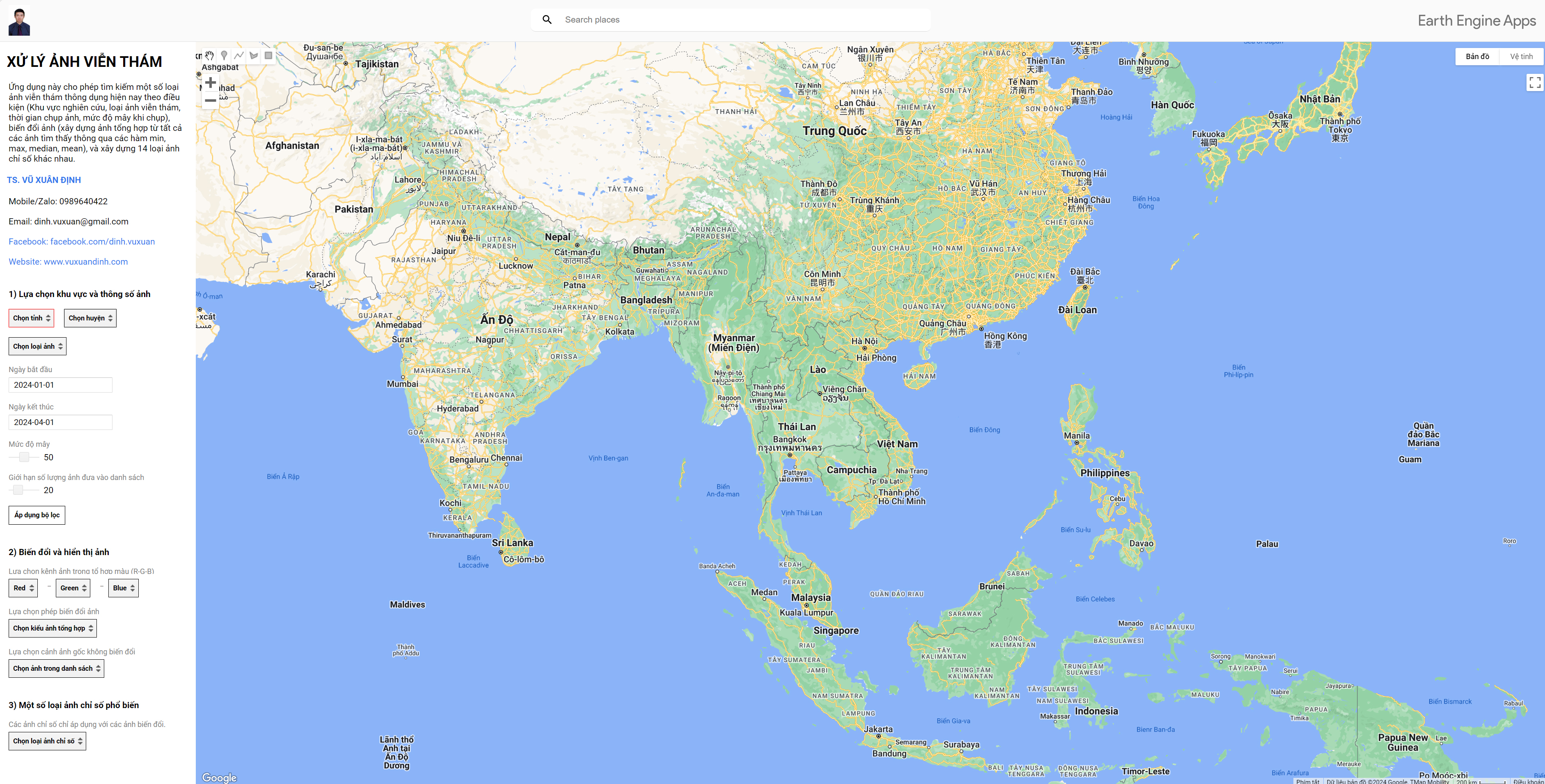
satellite imagery was processed and classified using the Random Forest algorithm on the Google Earth
Engine platform. Theclassification results achieved an overall accuracy of 83.31% with a Kappa coefficient
of 0.7900 for the year 2014, and 86.48% with a Kappa coefficient of 0.8294 for the year 2024,
demonstrating the high reliability of the land cover maps for both study periods. Transition matrix
analysis conducted in ArcGIS reveals that perennial cropland (CLN) increased by 7.4%, reaching 23,844.38
ha, while built-up land (CTXD) expanded significantly by 22.1% to 5,841.87 ha, reflecting rapid
urbanization. Water bodies (MN) also increased by 13.8% to 937.35 ha, mainly due to irrigation and water
resource development. In contrast, annual cropland (CHN) slightly decreased by 3.7% to 5,000.85 ha, and
bare land (DT) declined sharply by 74.5% to 898.35 ha, indicating a trend toward more sustainable land-use
restructuring. Markov chain modeling predicts that by 2034, built-up land will continue to increase by
11.7% to 6,527.89 ha, perennial cropland will grow by 2.1% to 23,360.78 ha, and water bodies will expand
by 9.0% to 1,021.84 ha. Conversely, annual cropland is expected to decrease by 4.3% to 4,787.37 ha, while
bare land will further decline by 8.2% to 824.92 ha. These findings provide a robust scientific basis for
land-use planning and management in Phu Tho province, highlighting the strong potential of integrating GIS
and remote sensing for sustainable land resource management, and recommend incorporating Sentinel imagery
to enhance multi-temporal analysis in future research.